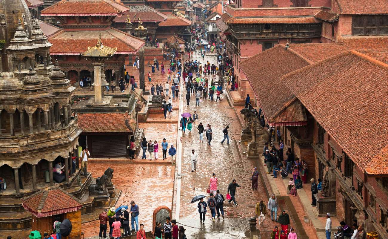
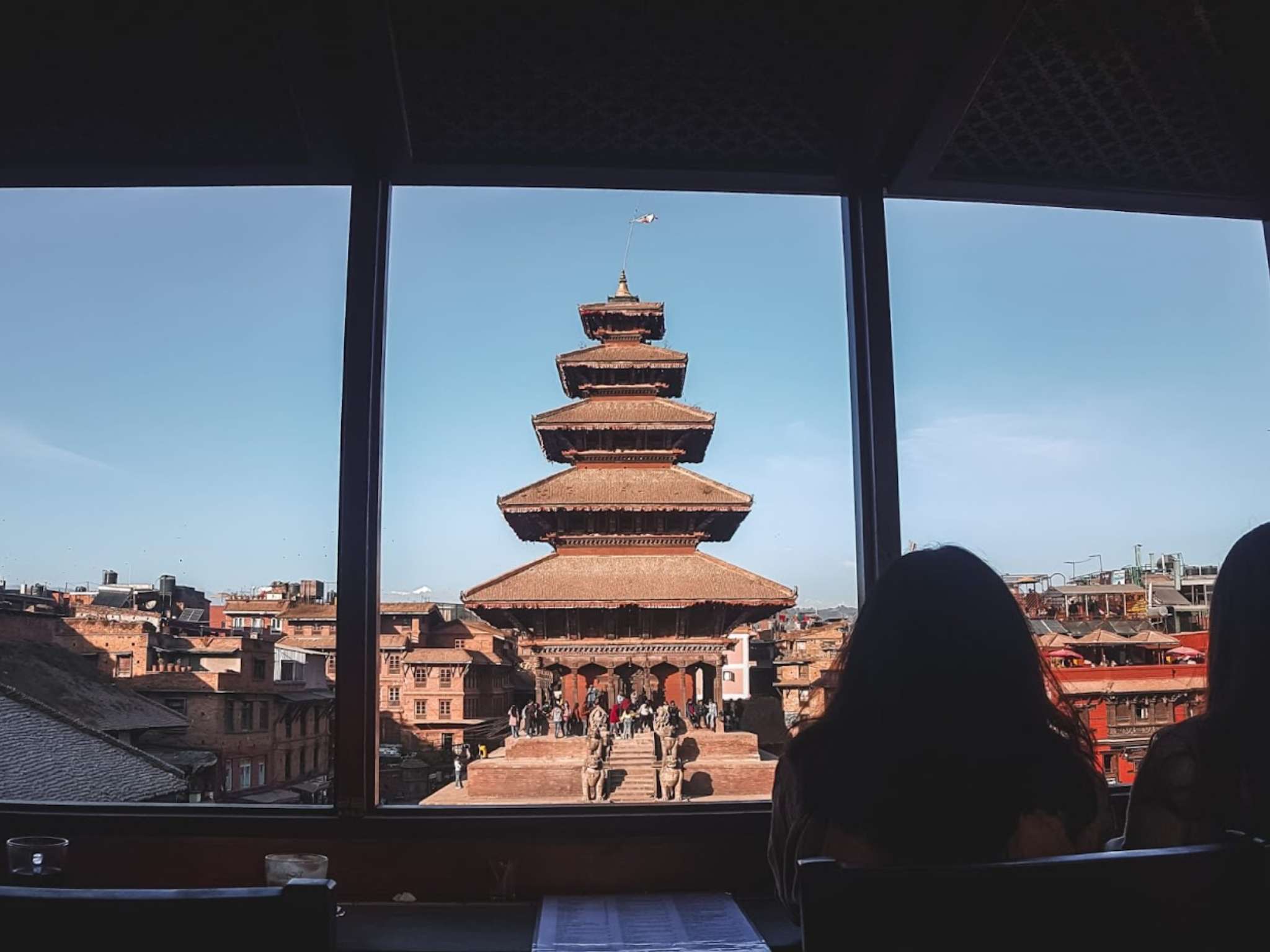
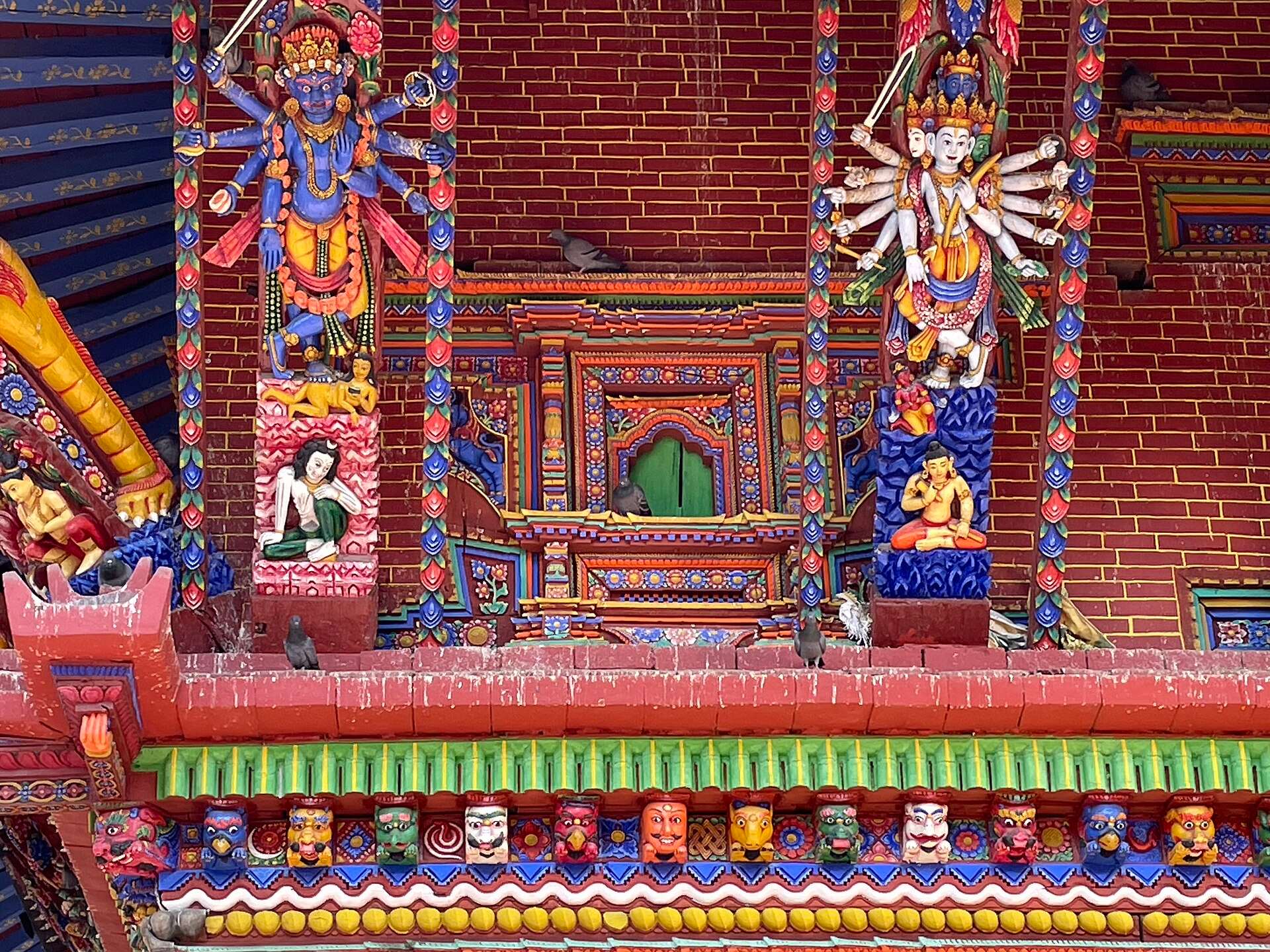
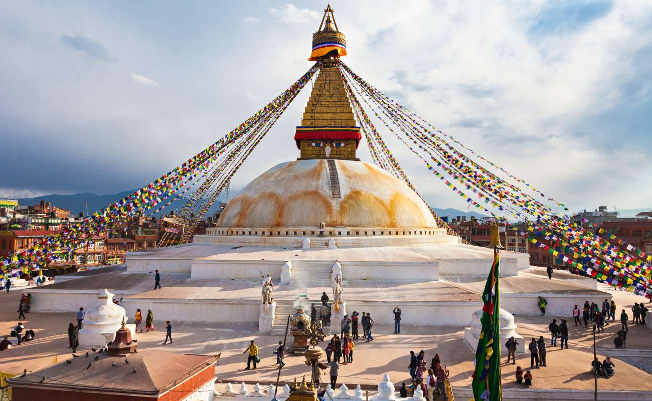
How do the sites group together on the map?
Four groups appear once you see the valley on a map, and they’re the basis of most good routes.
| Group | Sites | Why they pair well |
|---|---|---|
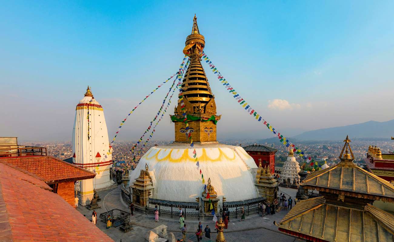
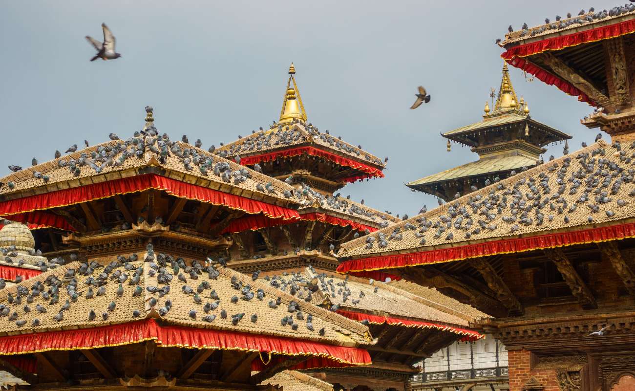
| West and central | Swayambhunath and Kathmandu Durbar Square | About 2 km apart in a straight line, and both close to Thamel |
| South | Patan Durbar Square | South of the Bagmati River, in Lalitpur |
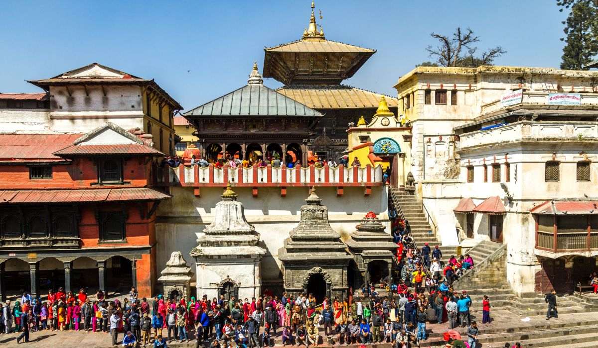
| Inner east | Pashupatinath and Boudhanath | About 1.8 km apart in a straight line, near the airport |
| Far east | Bhaktapur Durbar Square and Changu Narayan | About 4.9 km apart in a straight line, but well away from the city |
How far apart are the UNESCO sites?
Straight-line distances run from about 1.8 km between Pashupatinath and Boudhanath to about 14 km between Swayambhunath and Bhaktapur. The table below shows every pair.
Road distance is always longer than these figures, and valley traffic can matter more than distance. For planning allowances and the few drive times that have been published, see 2 days in Kathmandu.
What does the map leave out?
This map marks seven dots, not the legal boundaries of the monument zones. UNESCO revised those boundaries in 2006, and you can read about that in our guide to the Kathmandu UNESCO sites.
It also leaves out smaller streets, so it won’t get you from a hotel to a temple gate. Each site card has a Google Maps link for that.